Tag Archives: humboldt redwoods state park

End of Summer Redwoods Trip

A couple months ago (mid September 2023) I took a few days to visit the redwood parks and forests in Santa Cruz, Mendocino, and Humboldt counties in California.  I also caught up with a few redwood colleagues, it was nice visiting and doing some walking and hiking. 

Day One – Big Hendy and Little Hendy Groves in Hendy Redwoods State Park near Philo

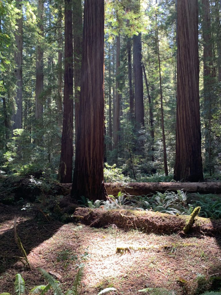
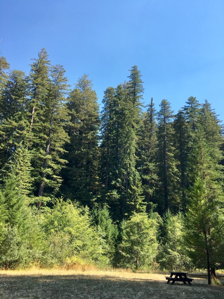
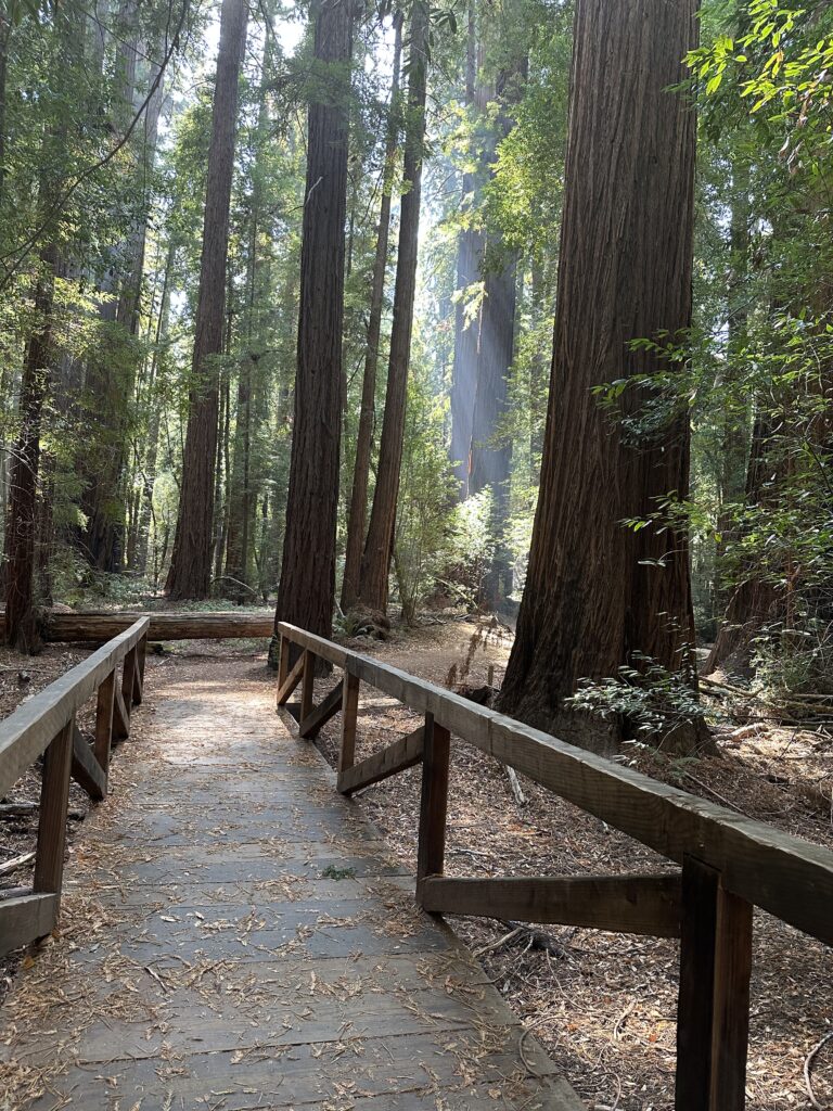
Big Hendy redwood grove has well maintained relatively flat trails that wind throughout the old growth area.  There are tall trees here, with twenty or so from 330-350 feet in height.   There is also a nice prairie area adjacent to the river and good picnic facilities.

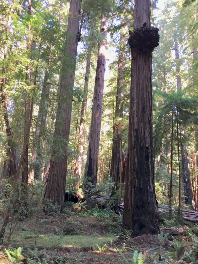
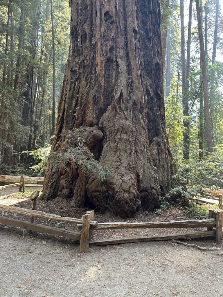
Little Hendy redwood grove is a smaller though just as nice grove closer to the visitor center and is pretty much right above the banks of the Navarro River.   The primary trail is a single narrow oval loop with small elevation changes.  There are some large and unusual redwoods in Little Hendy Grove right along the loop.
Day Two – Humboldt Redwoods State Park Bull Creek Groves

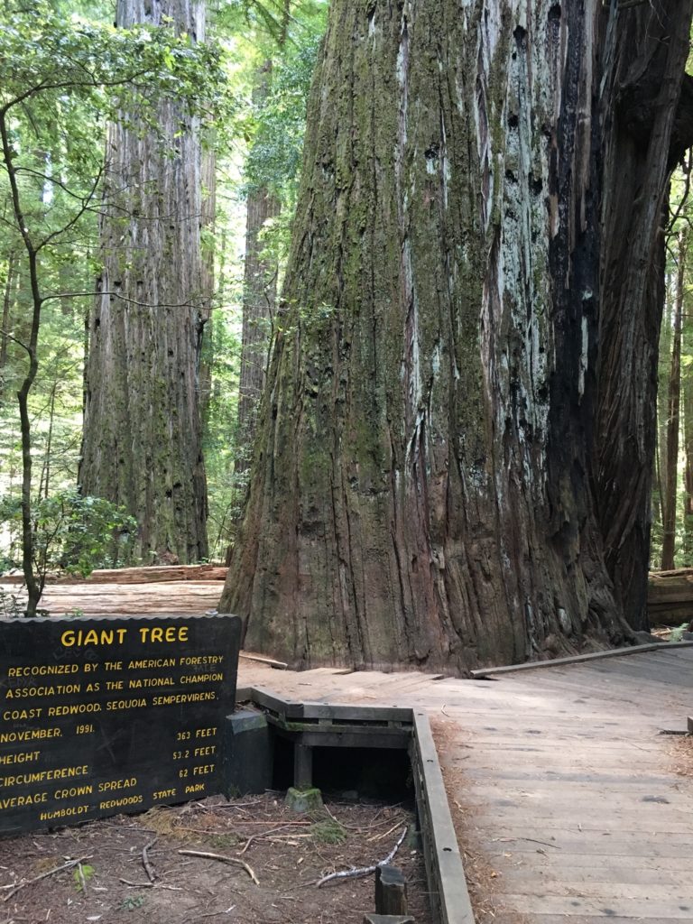
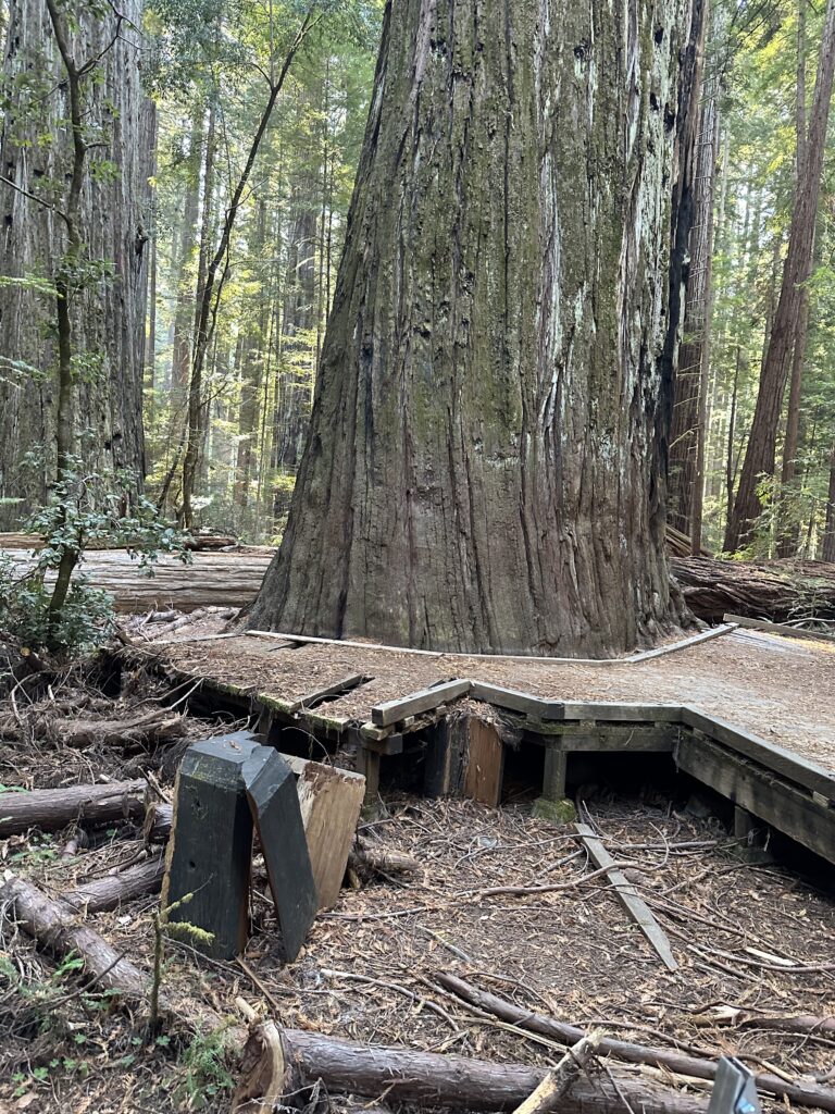
I met John (the Eagles fan John) in the Tall – Giant tree area off Mattole Road.  We did some hiking in the flats on both sides of Bull Creek.  There were a few downed trees, especially on the north side of Bull Creek.  The Giant Tree dropped a big limb or two recently, smashing through the deck surrounding it and destroying the sign beside the deck.  There is also a big deep hole in the ground on the west side of the Giant Tree, obviously involving the Giant Tree’s roots.  It is worrisome. 

The drive along Mattole Road took me though the area where there was a big landslide last Spring.  About a quarter mile of the road is now gravel track, and there are many downed redwoods on the downhill side of Mattole Road through this area.
Day Three – Redwoods National Park Tall Trees Grove

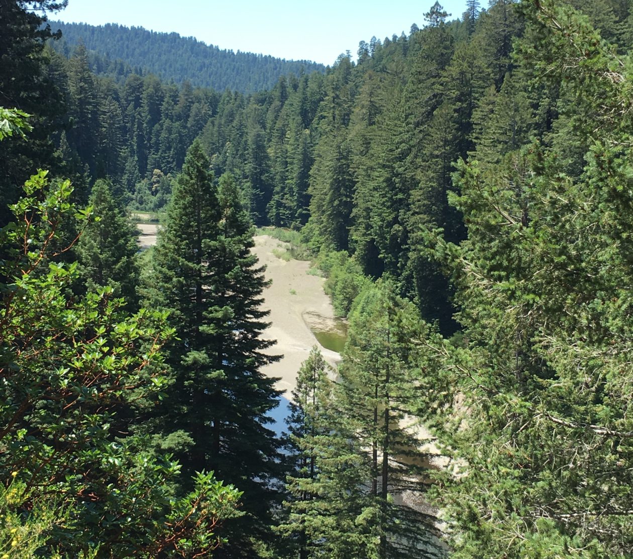
I really enjoy the drive and hike to Tall Trees Grove, and the grove itself is great.  In the summer walking out onto the gravel bars of Redwood Creek from the Tall Trees trail is a must to see the giants in profile.  These redwoods are huge living things.

There was a lot of tree fall along upper Tall Trees grove trail last winter and many well executed repairs are visible on the upper part of the trail.  Down in the grove itself all the giants seem to be standing tall.  I spent a lot of time on the gravel bars taking in the views, both immediate and long distant.  The hike back up the steep hill is a good leg and lung stretcher and I enjoyed respites on a couple of well positioned benches.

Day Four – Humboldt Redwoods Pepperwood Area, Smithe River State Natural Reserve, and Chamberlain Creek Waterfall Trail in Jackson State Forest Mendocino County

On day four I met Steve (the Cal Poly Humboldt Steve) and we did some hiking and work in the Pepperwood Area of Humboldt Redwoods State Park.   Most of the time we were in French Bell Grove, but we also went over to the north end of the Avenue to check out a few trees close to 101. 

Later that day I finally stopped at Smithe Redwoods State Natural Reserve along 101 north of Leggett.  Care needs to be taken exiting and entering 101 from the adjacent parking area as this is a high-speed curvy area of the highway.  Smithe Redwoods are on a nice flat above the Eel River and there is some impressive old growth there. A couple trees top out at 330 feet.

After this it was off to Chamberlain Creek Waterfall Trail between Willits and Fort Bragg in Jackson State Demonstration Forest in Mendocino County.  This area is a little remote and has gravel roads on the approach and it is good to have well researched written directions when driving there.  The trail is great, it starts from a road and moves sharply downhill into a creek valley filled with tall old growth redwoods.  The waterfall was flowing, and the wide cascade drops straight down a twelve foot or so wall of rock.  The waterfall and redwoods are in the same immediate area, so the vista is scenic and tranquil.

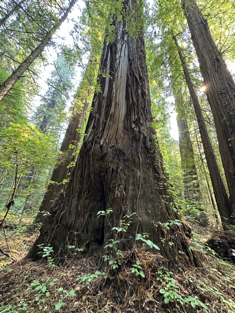
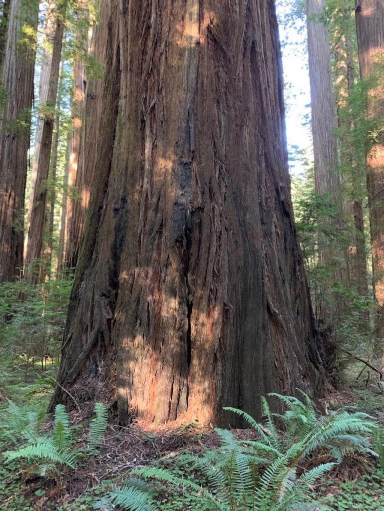
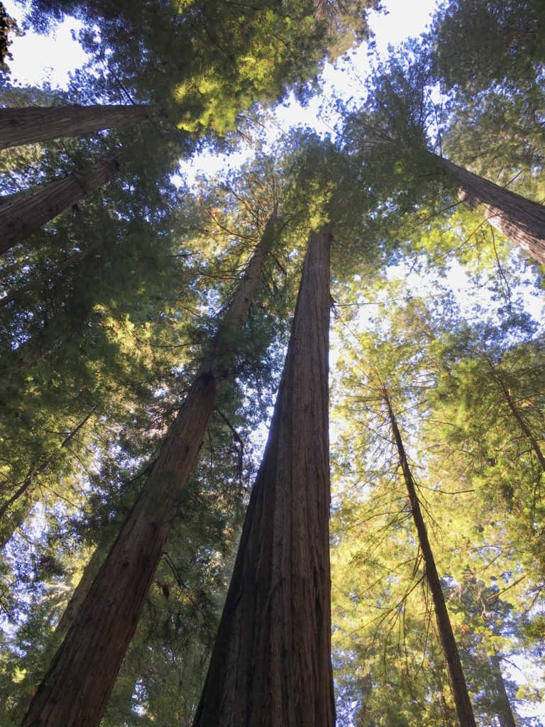
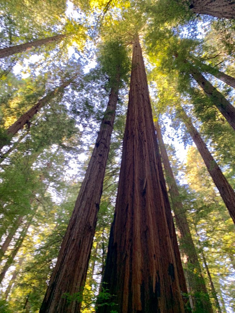
Big trunk and crown of large redwood in Grieg-French-Bell grove

Day Five – Henry Cowell Redwoods State Park and Aptos Creek in Santa Cruz County

The drive on day five was very interesting, taking expressways through the South Bay area and then the winding roads to the Felton – Henry Cowell Redwoods State Park – Roaring Camp area.  Henry Cowell Redwoods are beautiful, on a flat right above the San Lorenzo River.  There are many really big redwoods along the primary old growth trail.  This park has really nice facilities and a big parking lot near the trail entrance to handle a good number of visitors.

Later that afternoon I drove over to the Aptos Creek area to visit Ed (the Redwood Ed) and we took a nice walk and saw some big redwoods along Aptos Creek, very close to the Pacific Ocean.

I enjoyed my time in the redwood areas and meeting up with some good people. Thanks for reading.
Humboldt Redwoods State Park Bull Creek Groves

Background

The Bull Creek groves in Humboldt Redwoods State Park run six kilometers east to west, starting at the confluence of Bull Creek and the South Fork Eel River and extending west to a short distance past the Mattole Road Bridge over Bull Creek. All the tall redwoods (those over 100 meters in height) in the Bull Creek groves are within 225 meters of Bull Creek itself.   Therefore, the area with very tall redwoods encompasses about 2.7 million square meters / 270 hectares / 670 acres.   The tall redwoods are more or less uniformly distributed throughout this area, which is known as the “Bull Creek Flats”.

Despite what a sign says, the Bull Creek Flats have NOT been a wilderness for thousands of years.  This area was long used by Native Americans, especially in the winter when salmon were in the creek.  In the present day Mattole Road runs through the entirety of the Bull Creek groves, and the area is well trailed, on both the north and south sides of Bull Creek.  You can virtually drive Mattole Road through the Bull Creek Flats using Bing Maps (this area is not available on Google Earth Street View).

John D. Rockefeller Jr. donated $2 million in the late 1920’s to purchase the Bull Creek groves and a portion of the surrounding hillsides from the Pacific Lumber Company.  That sum was matched by state of California taxpayers to complete the $4 million purchase of approximately 9,400 acres encompassing the Bull Creek Flats, Dyerville Flats, and some of the surrounding hillsides in 1931.   This is why the area in the present day is called Rockefeller Forest, though John D. Rockefeller Jr. preferred the name Bull Creek – Dyerville Forest.

Coast Redwoods are the dominant canopy species in Bull Creek groves.  The coast redwood is the only living tree species with more than a handful of individual trees over 100 meters in height.  There are approximately 2,000 coast redwoods over 100 meters in height.  Of these 2,000, about 800 are in the Bull Creek groves. About 25 of the approximately 45 trees in the world over 110 meters in height (all coast redwoods) are in Bull Creek groves.

Notable trees marked on older maps for this area include the Rockefeller Redwood (Tall Tree), Giant Tree, Flat Iron Tree (now fallen), and the Giant Braid.

Lower, Middle and Upper Bull Creek Flats

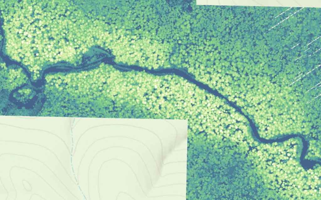
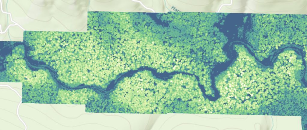
Although the Bull Creek groves (Bull Creek Flats) are continuous, sometimes the area is subdivided into the lower, middle, and upper Bull Creek Flats.  Using 2018 LiDAR data, I have created three derivative maps detailing the crowns in each area color shaded by ten meter height increments, stopping at 100 meters.  The crowns with white shading on top are over 100 meters, and there are about 800 such crowns along Bull Creek.   The tallest tree in the Bull Creek groves is Stratosphere Giant, which is about 114 meters tall.   Its specific location can be found through a standard web search.

Lower Bull Creek Flats colored height map shaded by ten meter increments. Ends in white (over 100 meters)
Middle Bull Creek Flats color height map shaded in ten meter height increments. Ends at white (over 100 meters).
Upper Bull Creek Flats color height map shaded by ten meter height increments. Ends at white (over 100 meters).

A Photo Tour of the Bull Creek Groves

Below are photos I took from 2014 though 2019 of locations in the Bull Creek groves.  They give a good overall idea of what can be found on the Bull Creek Flats, and some specific additional facts are included in the photo captions.  

I have also created a three minute You Tube / Power Point on the Bull Creek groves.  There is some background music, please forgive the middling skill of the piano player (me).

Views of Lower Bull Creek Flats

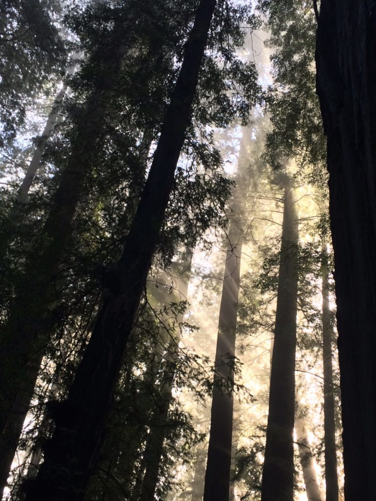
Winter morning at south end of Rockefeller Loop in Lower Bull Creek Flats
Tall redwood inside the Rockefeller Loop in Lower Bull Creek Flats
Sorrel covered forest floor in Lower Bull Creek Flats.
Fallen redwood on north trail exiting Rockefeller Loop in Lower Bull Creek Flats
Adjacent tall redwoods in the Lower Bull Creek Flats area

Views of Middle Bull Creek Flats

Nice redwood growing on the south side of Bull Creek in Middle Bull Creek Flats.
Large redwood in Middle Bull Creek Flats south of Bull Creek
Middle Bull Creek Flats south of Bull Creek
Tall redwood crowns in Middle Bull Creek Flats south of Bull Creek
Open area on Calf Flat north of Bull Creek in Middle Bull Creek Flats
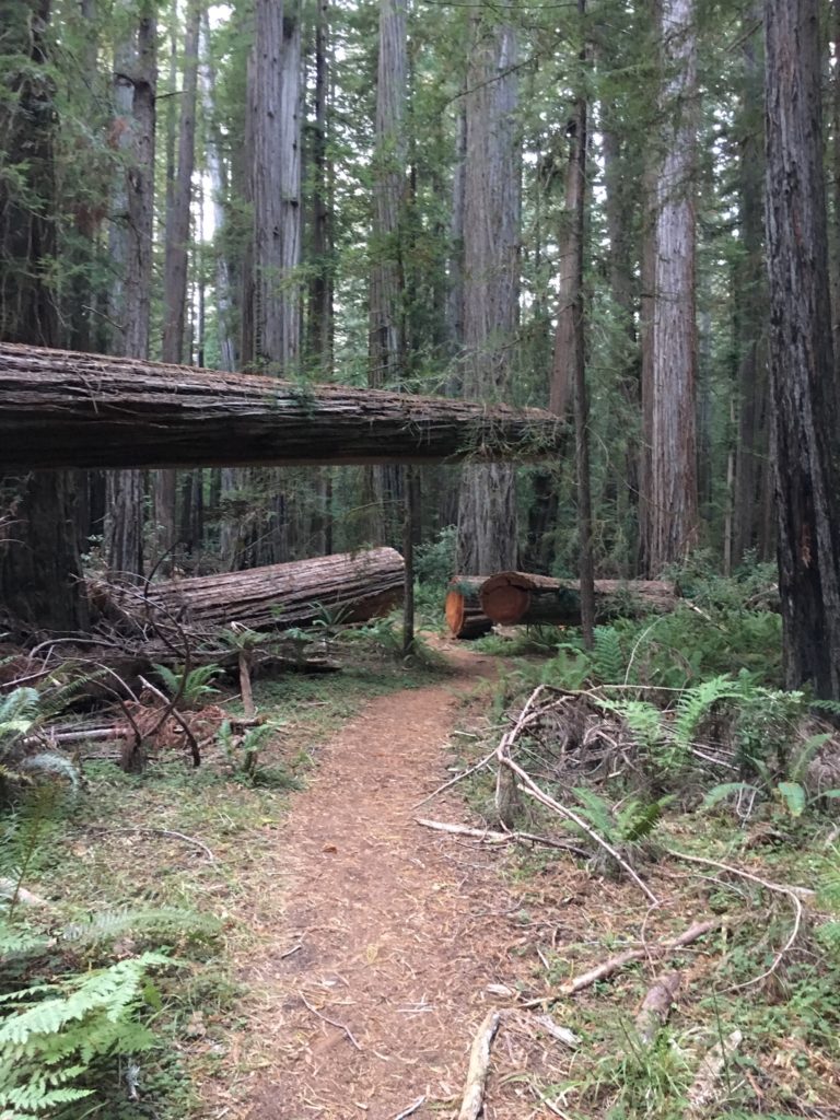
Middle Bull Creek Flats north side trail view. Fallen redwoods are generally cut through and moved a little to keep the trails open.

Views of Upper Bull Creek Flats

View looking south across Bull Creek to Harper Flat in Upper Bull Creek Flats
Big redwood on Harper Flat on the south side of Bull Creek in Upper Bull Creek Flats
Looking toward the crown of a tall redwood on Harper Flat south of Bull Creek in Upper Bull Creek Flats
Giant Tree just south of Bull Creek in Upper Bull Creek Flats.
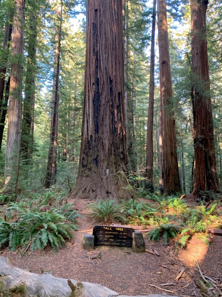
Tall Tree aka Rockefeller Redwood. On the north side of Upper Bull Creek Flats.
Nice ravine tree in upper Bull Creek Flats on the north side trail.

Thanks for viewing and reading.

Canopy Height Distribution in Old Growth Redwood Forests

Methods

This article is related to an earlier article posted on this web site, “Distribution of Tree Height in An Old Growth Redwood Forest”.   An analysis of recent LiDAR data allows for confirmation and expansion of the analysis in that article.

LiDAR data includes first return and ground points.  From this information height above ground can be calculated, typically at the square meter level using average ground elevation and maximum first return elevation within the square meter.  From this, derivative products can be created, including color height maps and data tables. 

In order to use the LiDAR data for canopy height distribution, I aggregated the results to 20 m x 20 m (400 square meter) tiles.  This is used to approximate crown spacing in old growth redwood forests.  The maximum calculated height above ground within each 400 square meter area is used to create the distribution graphs.  In practice the number of tiles is slightly greater than the number of actual redwood trees, by about twenty percent.  This is due to the same tree being included in two tiles.

Overall Results

Most importantly, redwood groves have a variety of footprints but similar distributions of tree height beyond the median height for the grove.  Some groves are thin wisps along canyon bottoms (think Big Sur) versus others are broad forests filling both sides of large valleys (think Prairie Creek).  But for most groves the very tallest trees in the grove are much higher than average height and the number of trees drops markedly in each ten foot height increment beyond the grove median height.

Redwood forests are amazingly scarce and small.  Coming out of the latest glacial maximum redwoods were few in number, then filled in a shifting northward range that represented just 2,000,000 acres in a 500 miles long by average six miles wide thin rectangle just inland of the Pacific Ocean from southern Oregon to Big Sur. In this range the needed blend of rare winter freezes (as redwoods cannot propagate by seed in areas with regular winter freezes) and regular intraday offshore to onshore summer fog (as fog hydrates the tall crowns of redwoods but lots of sun is also needed) occurs. Today’s remaining 100,000 or so old growth acres cover about the same range but in remnant patches, almost all in parks. 

Second, redwoods grow tall in good habitat throughout their range. Three-hundred-foot redwoods can be found from Big Sur to southern Oregon, and 328-foot (100 meter) redwoods can be found from the Santa Cruz Mountains to the Smith River near Crescent City.  Then the 50 or so tallest, those over 360 feet, can be found in Humboldt Redwoods State Park (about 33), Redwood National Park (about 13), and Montgomery Woods Reserve (about 4).  Prairie Creek Redwoods State Park and Jedediah Smith Redwoods State Park may also each have one or so 360-foot trees.

Third, old growth redwoods follow similar height distributions beyond a midpoint which is much lower than the maximum height in any particular grove.  The median height in a grove is typically 250-275 feet tall, with 300-foot redwoods often common and redwoods over 340 feet relatively rare.  When reviewed at the hectare level, the tallest canopies are around 340 feet median height.

The shortest trees reaching the canopy may be about 150 feet tall, there is no zero point.  This makes the distribution a truncated normal distribution, not a normal distribution. The canopy height distribution does follow a near normal distribution to the right of the canopy height midpoint.

Fourth, the tallest redwoods tend to clump together within groves. Reasons could be local light advantage, a local underground water source, common genetic specificity, or exceptional local soil conditions. The majority of the tallest redwoods have locally tall trees adjacent or nearby. The tallest redwoods tend to grow in groups of two, three, or four, with their tops twenty to thirty feet above the other tree tops in the same area. This is especially true on flats where the canopies are continuous rather than on slopes where the canopies tend to be emergent.

Demonstrated Canopy Height Distribution

The first area assessed are the Bull Creek and Eel River groves in Humboldt Redwoods State Park.

Here the canopy is relatively continuous within groves (in other words very few canopy gaps) with the exception of a couple areas.   This is a LiDAR color height map along Bull Creek in the Tall Tree area (Tall Tree / Rockefeller Redwood is in upper right).  The area shown covers about 500m x 500m.  Yellow is over 80 meters, orange over 90 meters, and red over 100 meters.  Here you can see yellows and oranges dominate, with most tree heights in the 275-300-foot range.  Then here and there are taller trees, which tend to clump together.

HRSP Tall Tree Area Color Height Map of Canopy (Tall Tree is to Upper Right)

This same pattern is repeated over and over in these groves, resulting in this aggregate canopy height distribution map:

Humboldt Redwoods State Park Old Growth Eel River and Bull Creek Canopy Height Distribution

To highlight what is shown, this is the percent of the canopy over given heights:

Over 280 feet    51%

Over 300 feet    35%

Over 320 feet    16%

Over 330 feet    8.5%      

Over 340 feet    3.5%                                

Over 350 feet    1.1%

Over 360 feet    0.2%    

Over 370 feet    0.01%

A top five percent tree is 340 feet tall. 

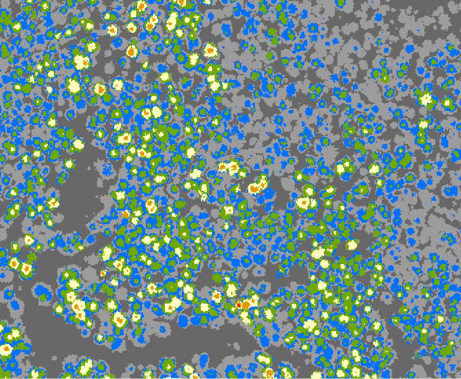
Then the second area assessed is a drainage well north of Humboldt Redwoods State Park.  Here the canopy is emergent, there are large gaps with lower heights but certainly many areas with tall redwoods, typically following slopes along and above creeks, which provide good soil and some wind protection.  This is a LiDAR color height map of a portion of the valley, covering about a 500m x 500m area. Yellow is over 80 meters, orange over 90 meters, and red over 100 meters.  Here you can see yellows and oranges in groups separated by lower canopy, with most tree heights in the 250-260-foot range.  Then here and there are taller trees. The tall trees are less dense, more spread out, versus Humboldt Redwoods State Park.

Northern redwood park Color Height Map of canopy in creek valley

A dozen similar areas were then aggregated to create this height distribution chart:

Area of Northern Redwood Park Canopy Height Distribution

To highlight what is shown, here is the percent of canopy above certain heights:

Over 260 feet    54%

Over 280 feet    25%

Over 300 feet      7%

Over 310 feet      3%

Over 320 feet    1.2%

Over 330 feet    0.3%      

Over 340 feet    .07%                                

Over 350 feet    .03%

A top five percent tree is 310 feet tall.

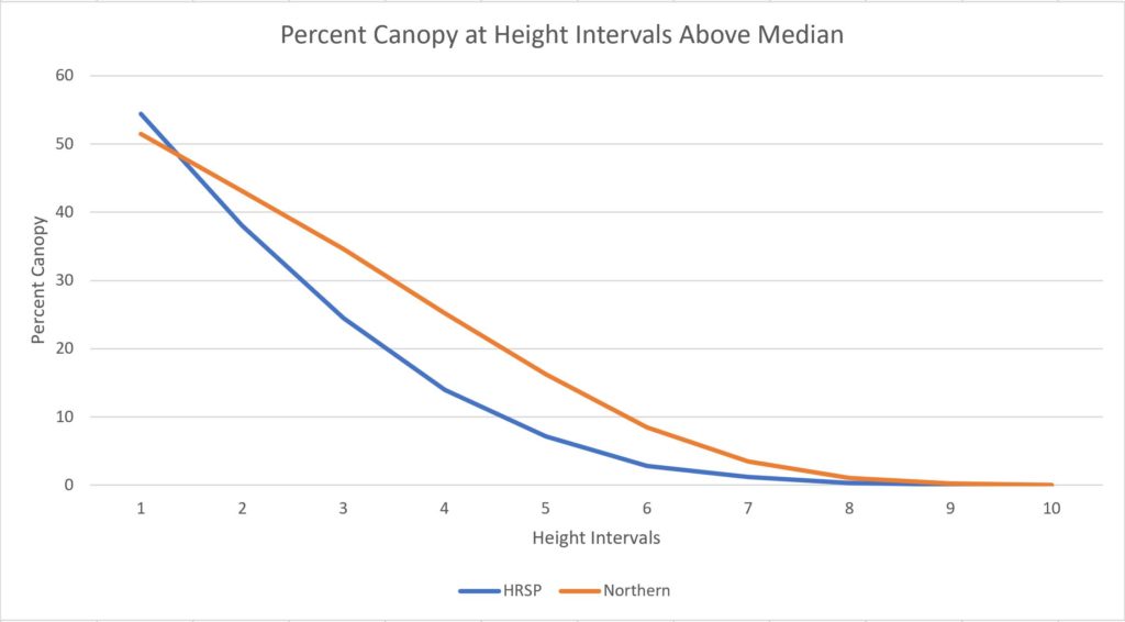
Putting HRSP and the northern redwood park area together in a graph of ten-foot height intervals above median height, it is evident both follow a similar distribution up to the tallest trees.  This is likely true when reviewing other old growth redwood areas. 

Height Distribution Ten Foot Intervals Right of Median

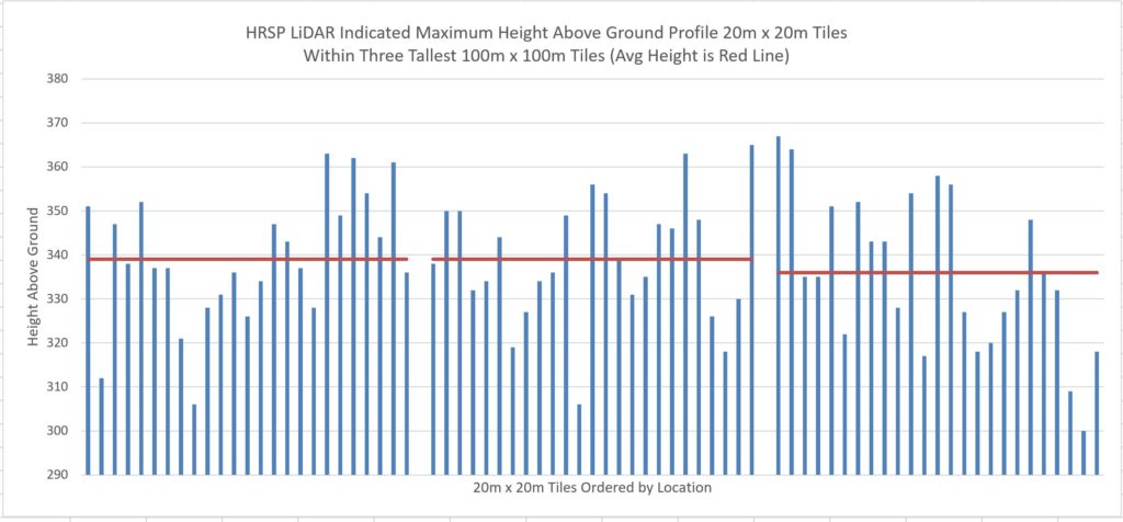
Finally this is a chart showing the canopy cross section in the three tallest 100m x 100m (hectares) in Humboldt Redwoods State Park. As noted earlier, the tallest trees tend to grow adjacently and are twenty to thirty feet above the average height in the local (one hectare) area.

Height Distribution HRSP Tallest Hectares

Redwoods became rare coming out of the latest ice age, then old growth redwoods became much, much rarer after commercial harvest.  Then within remaining old growth areas, the tree heights follow a truncated normal distribution, with decreasing numbers of trees for each ten foot increment above the local median. Then the tallest trees, those over 340 feet, are very uncommon and tend to clump together in very specific areas having the most optimal growing conditions.

Thanks for reading.